Old school sailing reads

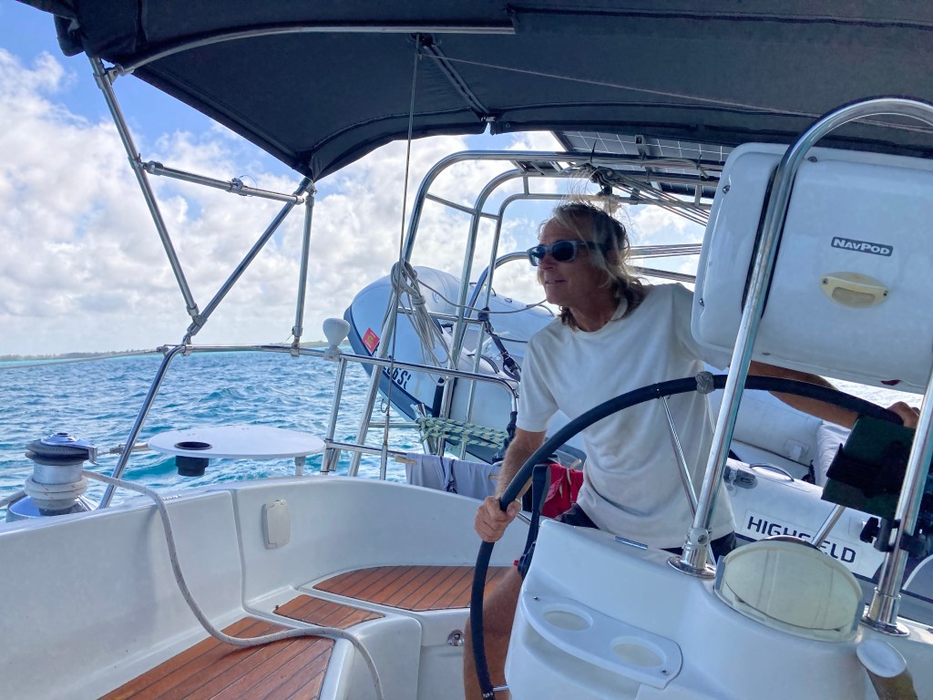
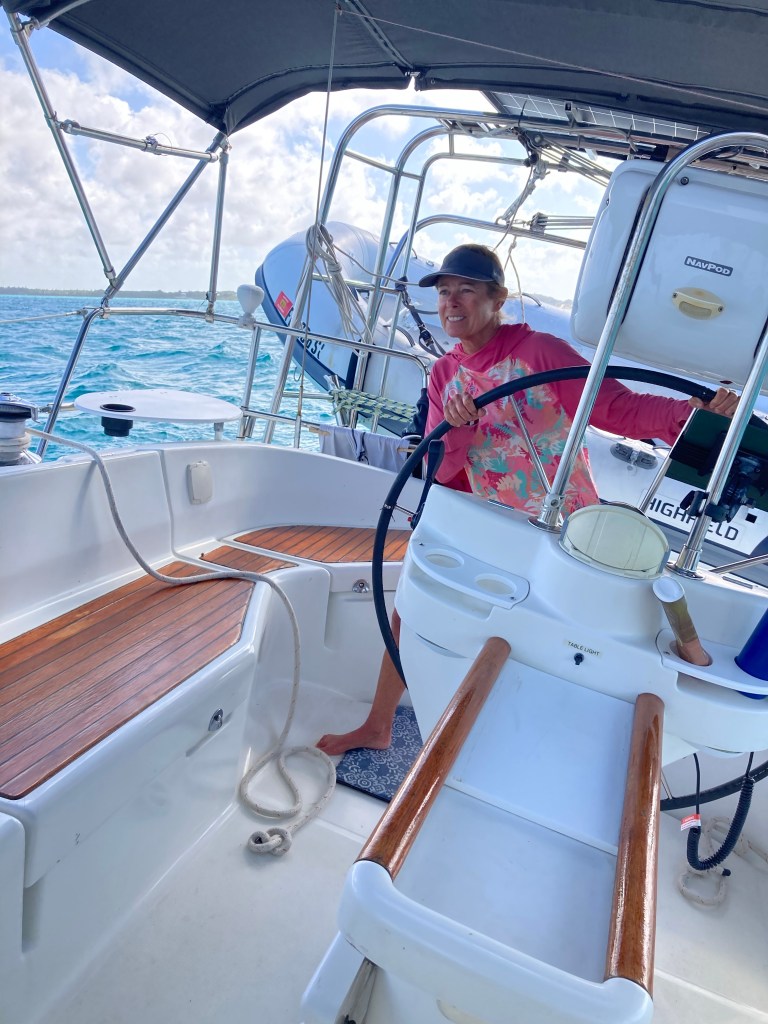
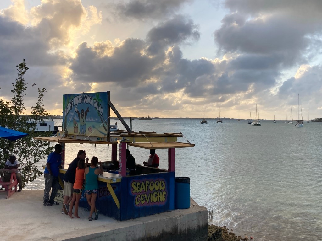
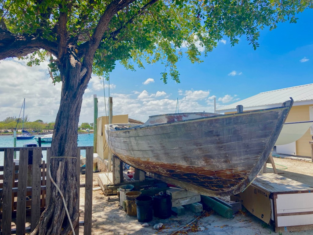
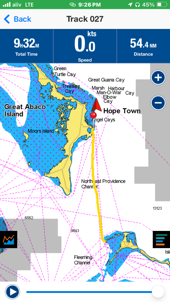
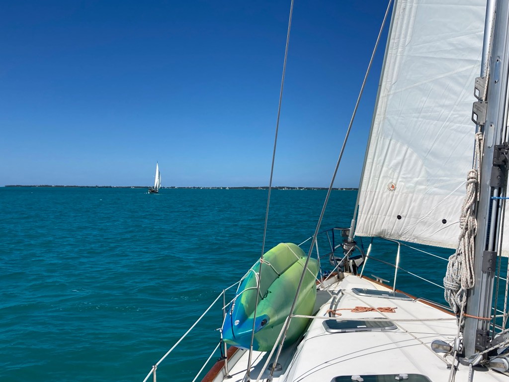
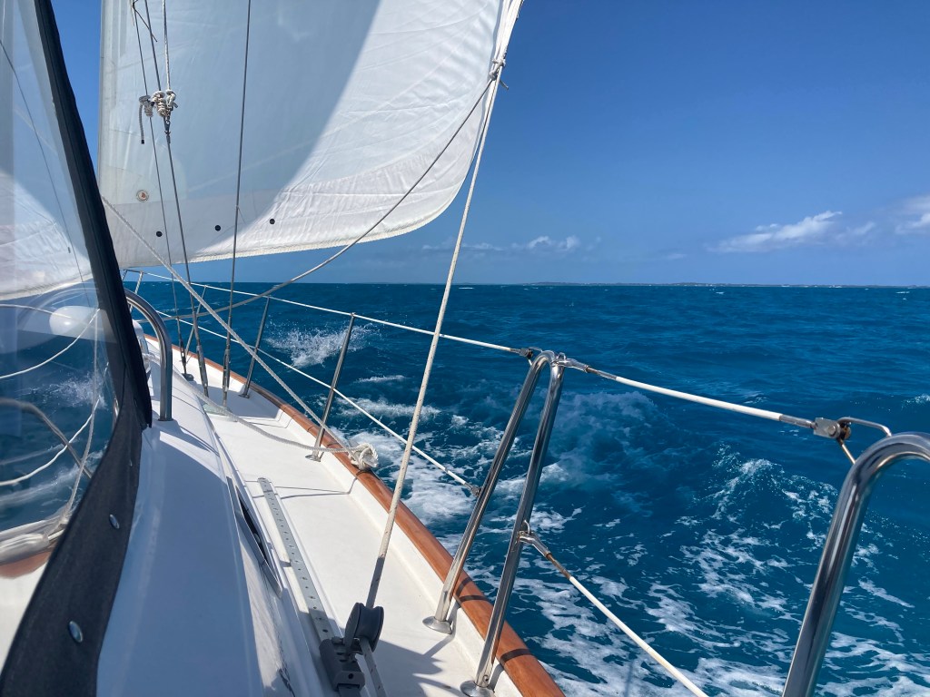
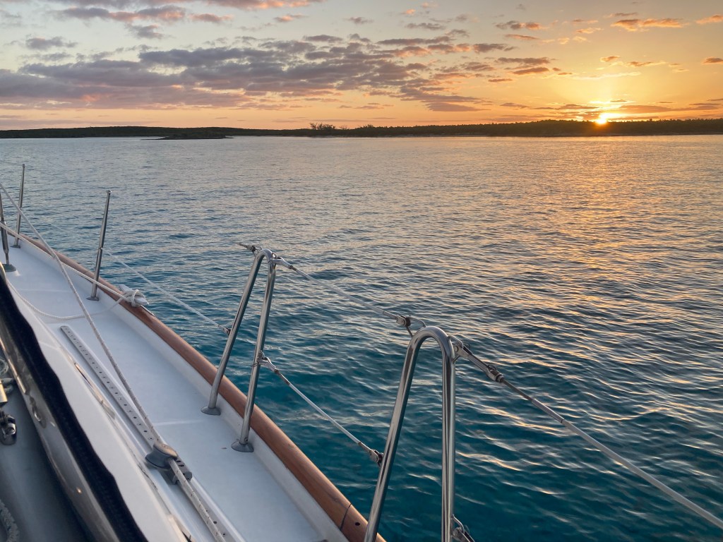
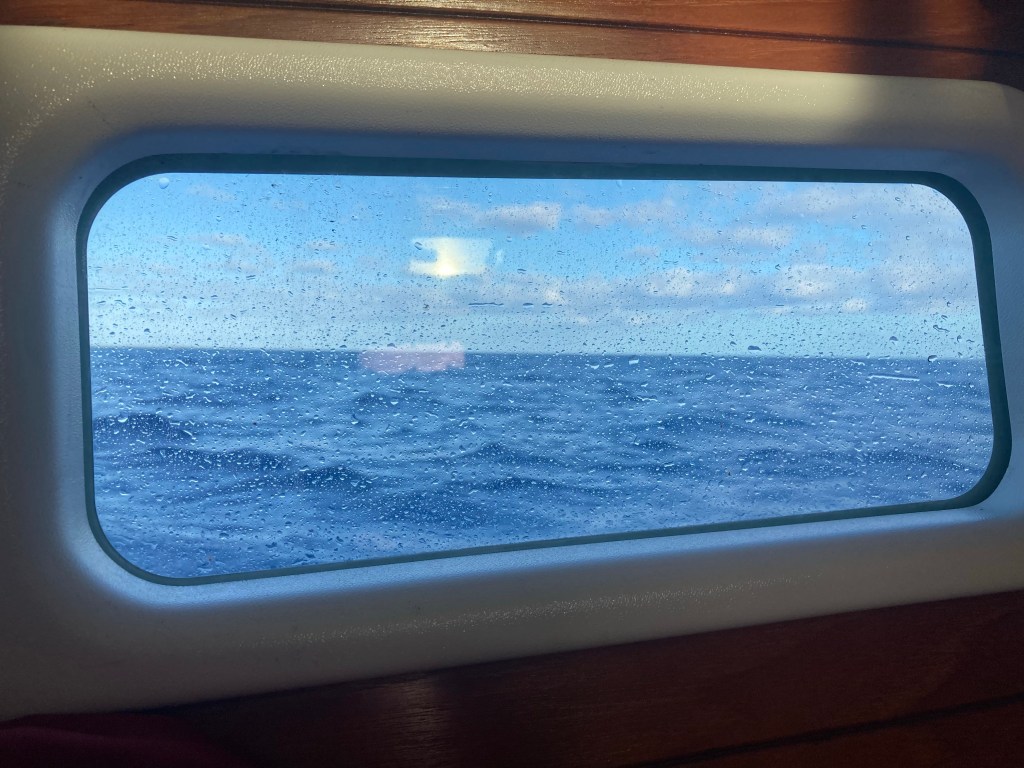
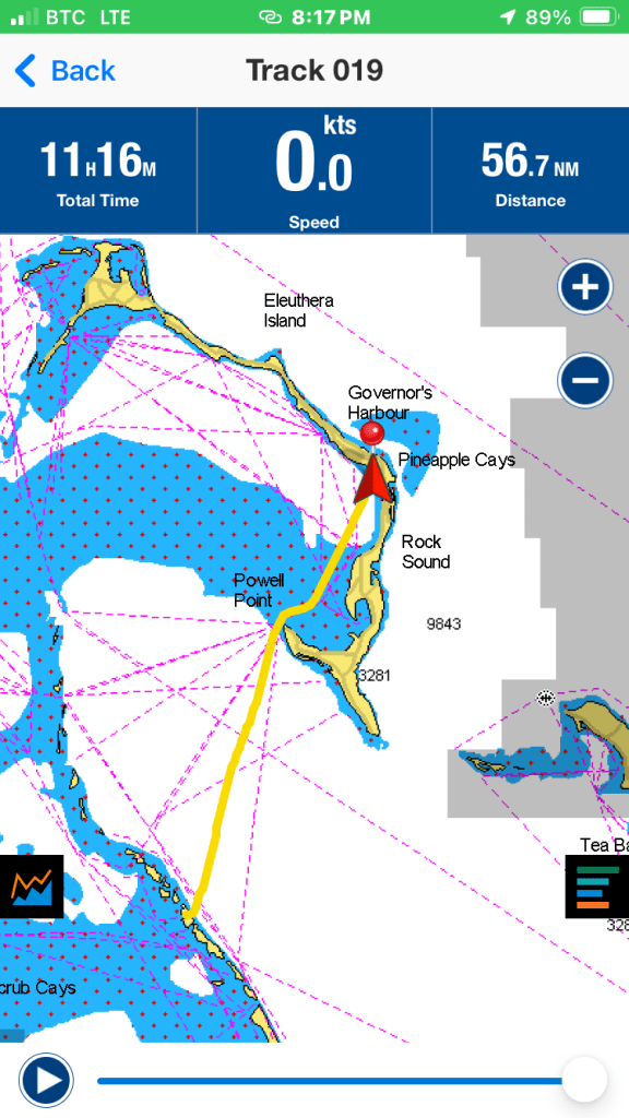
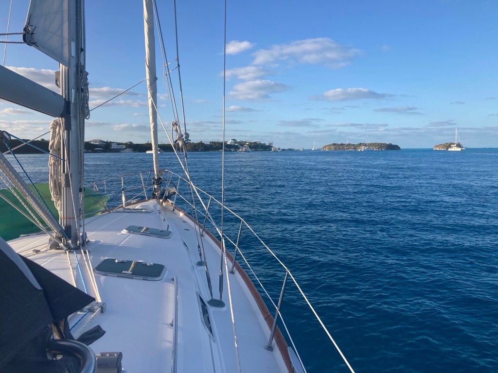
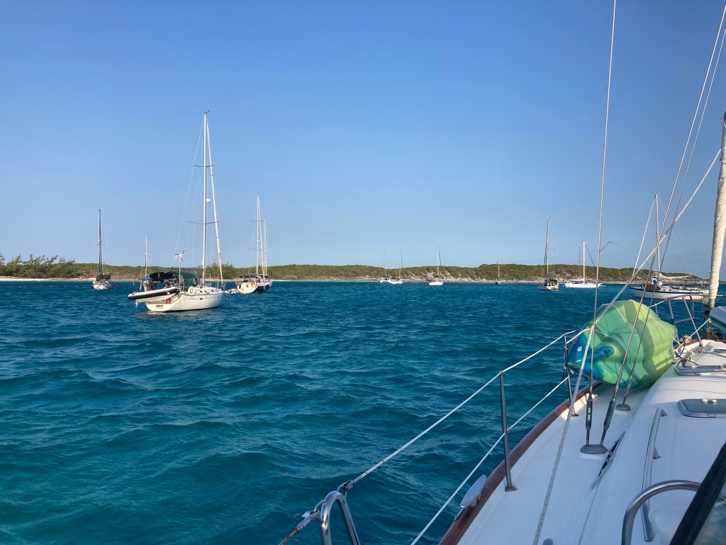
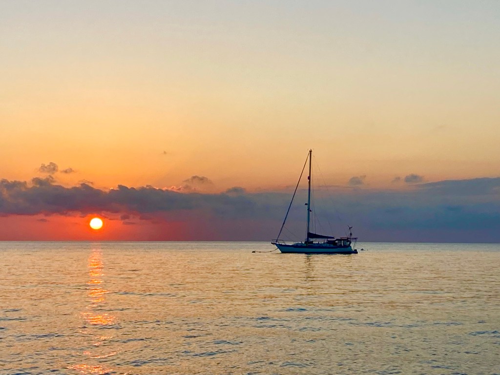
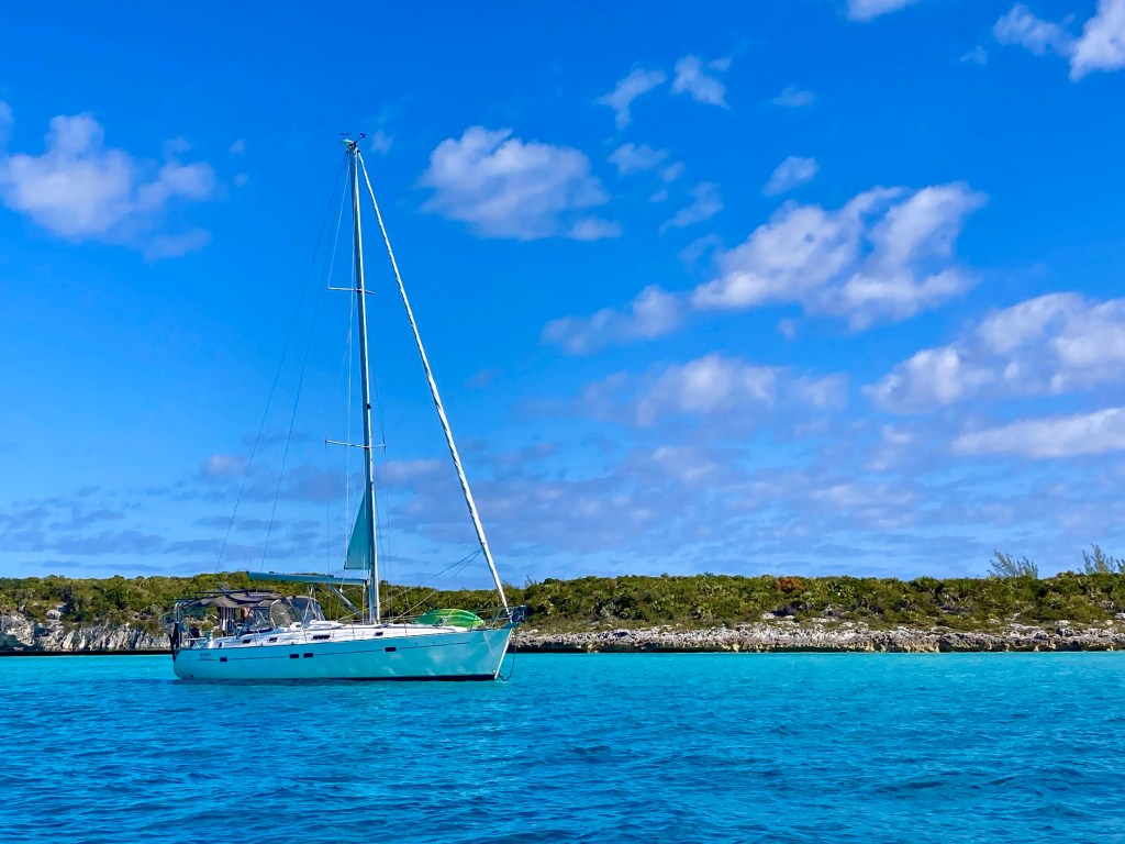
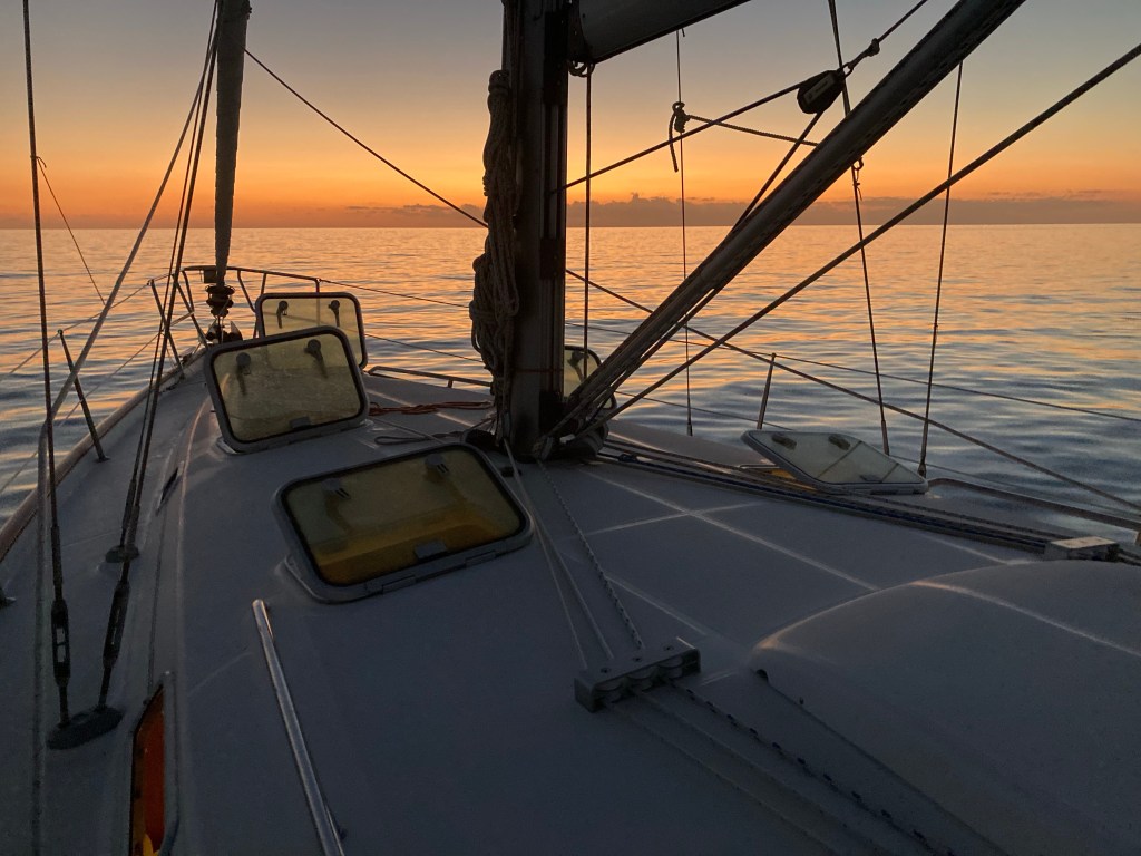
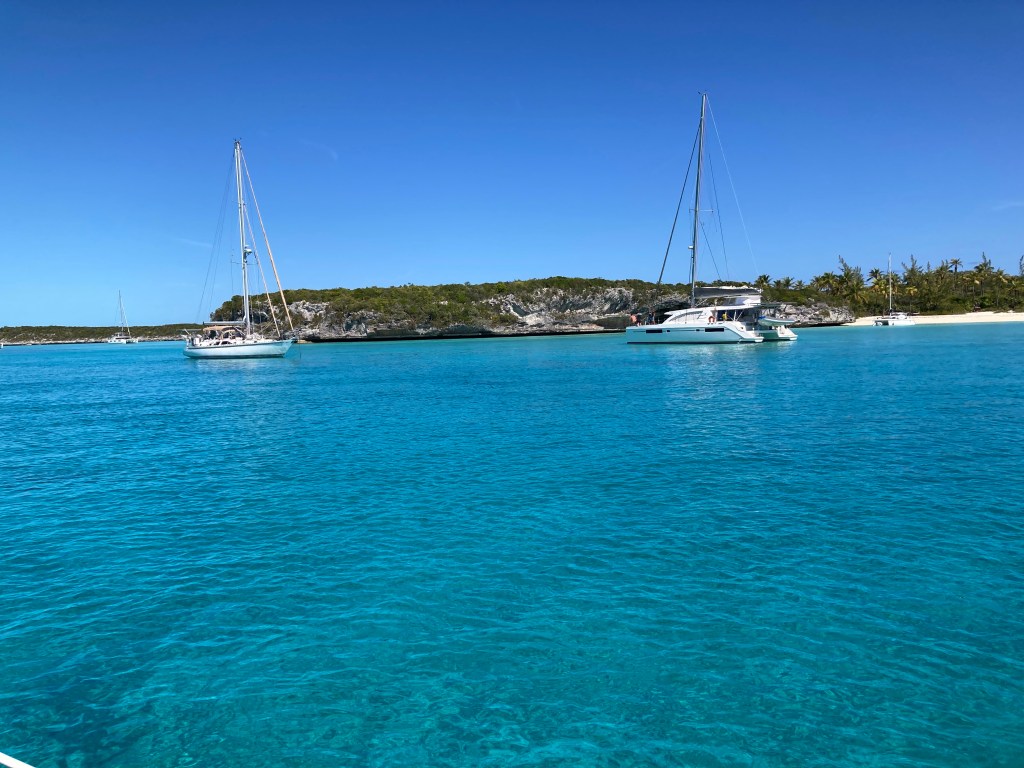
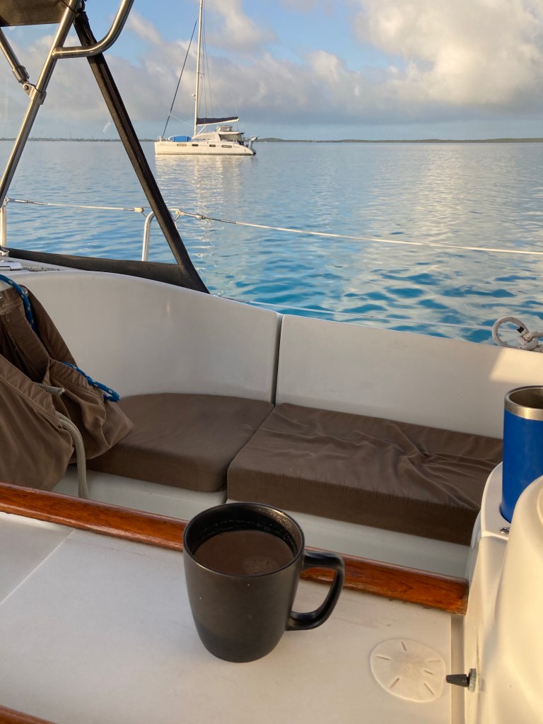
Part of the fun of being a full time live aboard cruiser is to hear from older sailors who sailed the world or area without gps and internet based weather apps and many of the conveniences of today sailing vessels. Today we have adjustable rolling furling mains and jibs and equipment to auto steer our course and very accurate charts that show our exact position. Just 20 years ago would have to “hank” on different sized jibs or manually reef the main sail. Navigation was often compass and celestial navigation and paper charts. Weather was a barometer. Lighting was pressured kerosene.

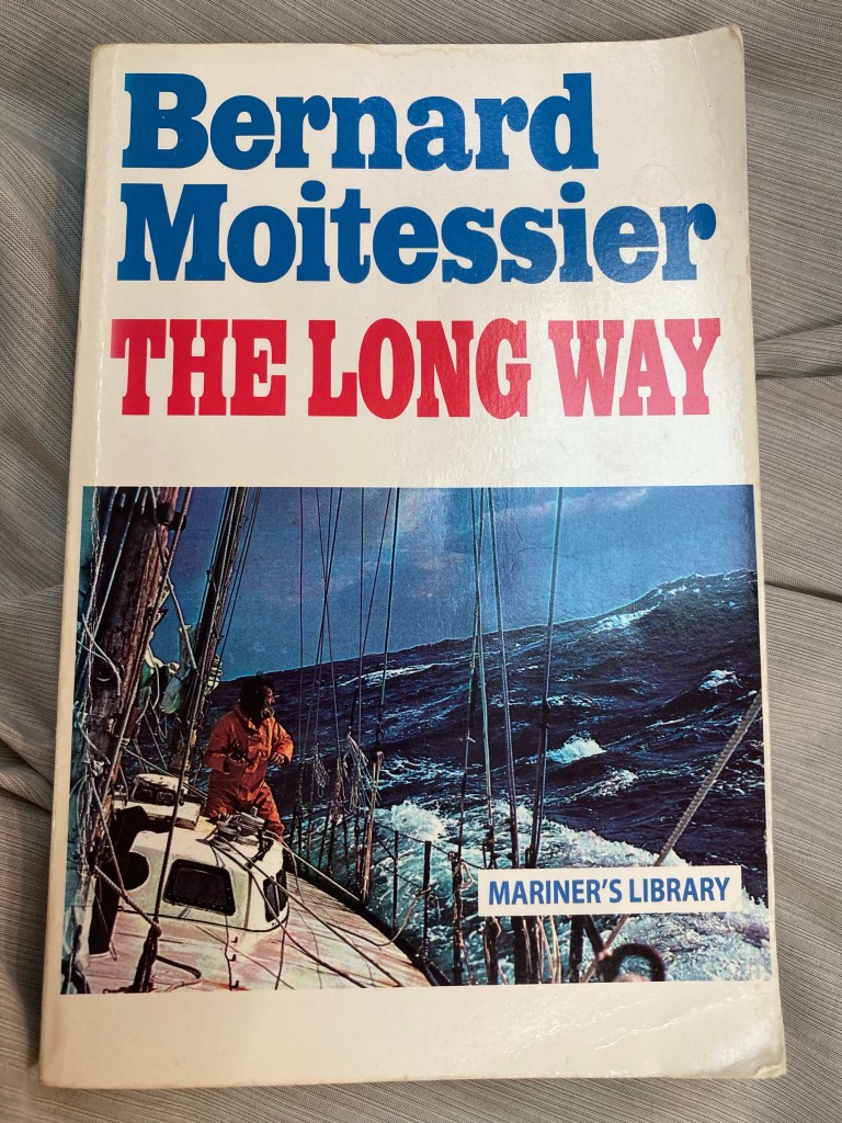
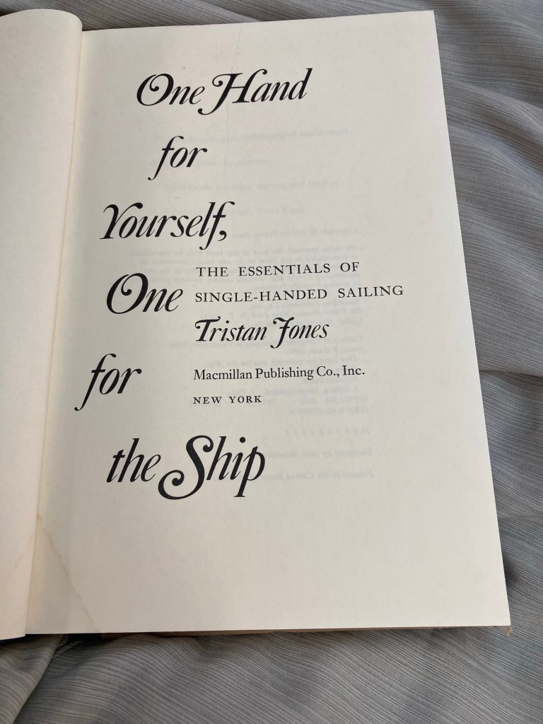
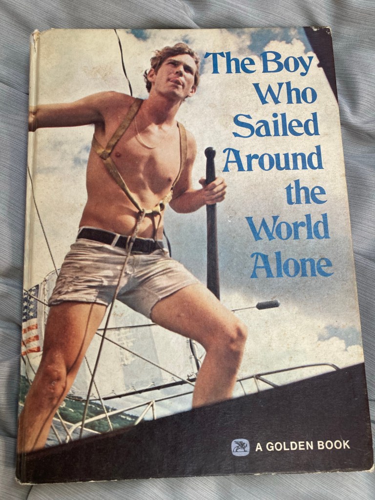
To remind us of the old school sailing methods and times we have gotten a few books onboard where we read about solo world passages in smaller boats with very low tech compared to todays highly complicated boats of systems with plumbing, navigation electronics and electrical solar etc.

A classic about solo sailing around the world without ever stopping
Tristan Jones book on solo sailing
Here is a picture book about the story of robyn graham and the book and boat called the Dove.

Back to Marsh Harbour

We returned back to Marsh Harbour so our guest could fly back to California while we re provision for our next set of guests in 3 days.

We were able to dinghy and then walk to the mermaid reef for snorkeling just a short distance from the boat.

Mermaid beach and reef area

Kayaking around the harbour in the morning
Sending our guest back to California at the ferry /taxi terminal
Dinghy cat – on the front of this dinghy is the owners cat who had just been for a cat walk on leash on shore. Lots of dinghy dogs who love to hang over the front with their paws. First cat we’ve seen!
Sunset on the boat

Guana cay and Scotland cay

We sailed from archer cay this morning to Scotland cay to do some snorkeling outside the bank on the reef.

We discovered another nice beach and quiet swim cove between Scotland cay and Guana cay.

We later sailed down Guana cay for an area with better south east winds protection.

Nice beach walk on Scotland cay after morning snorkeling outside on reefs
Walking around on Guana cay
Sunset on the boat
Famous Nippers bar on Guana cay overlooking the Atlantic
Beach waking and snorkeling on calmer Atlantic in the morning
Nippers bar
Pretending to be Robin Graham of the Dove book that inspired both of us to sail
Sailing in stronger 20-25 knot winds while sailing 9 miles from Guana to Marsh Harbour – partially reefed main and jib and still heeling 30 degrees
Having dinner at colors and fatty’s in marsh harbour
Marsh Harbour at colors restaurant
Conch fritters at colors restaurant just a short dinghy ride from the boat

Hope Town elbow cay

We sailed from man o war to Hope Town during higher 20-30 knot winds and anchored below the light house. We did a longer bike to the end island and walked out at tahiti beach.

Anchoring and kayaking
Biking down elbow cay
Our new guest Mary on the boat this week
The northern end of elbow cay
A sandy beach at north end
View from light house / our boat is the closest sailboat
Walking the beach hope town
Light house visit with guest Mary from California
Hope town Atlantic side

Man o war cay

We sailed from Marsh Harbour to Man O war cay. We spent two nights there since the wind was blowing so hard from the east making it difficult to move to a new anchorage.

Windy walk on the eastern side of man o war
Blowing 30 on the east side
Old buildings
Famous boat building yard
Quiet on the west side
Rebuild houses after Dorian hurricane in 2019

Back to the Abacos

We sailed to Egg cay near Spanish wells to position ourselves for a 3 am crossing to the Abacos – about 50 miles.

We got up early and headed north for the little harbour cut into the Abacos.

Our route from egg to Abacos

We spent one night at lynyard cay before we headed up toward Hope Town.

On route to Hope town we snorkeled at one of the best snorkeling spots in the Bahamas called Sandy cay.

Stormy weather outside of Hope Town

A very stormy night near Hope Town but the next day was sunny as we explored Hope Town and sailed over to Marsh Harbour.

Swimming in the Atlantic
Beach walking near hope town
Cute houses and the only still operating kerosene light house in the world at Hope Town
Traditional sailing boats from Bahamas

View from the light house
Clear and shallow waters near Marsh Harbour
Hope Town light house

Spanish wells

We had a pleasant sail from Looking glass windows to Spanish Well yesterday to first anchor during a west wind blow at Meeks before anchoring infront of Spanish well area.

We hiked all around this big town and beach and had dinner with other cruisers at a restaurant.

Sailing into Spanish harbor with our new sailing friends
Social hour on each others cruisers boat
Evening sunset at Meeks bay
Spanish wells beach on Atlantic side
More beach walking
Many old houses and vacation rentals here and hundreds of golf carts for folks who appear to live here year round !
This town is filled with many older houses some dating back to the 1800’s.
Evening back on anchorage

We learned a bit more about the history of this island and its inhabitants. It appears that this island was populated during the loyalist period during 1776 when some left the United States and wish to remain loyal to the British.

Some of those colonist who left and sailed here was the 4 Pinder brothers. One landed here and this island and to this day is filled with many Pinder descendants. We visited the cemetery and almost half or more were pinder family stones.

Pinder family graves
Graveyard
Many rental properties facing the Atlantic with large reef’s making for a shallow and sandy bay
Amazing beaches on the Atlantic side
The Bahamas bay side has many boat services and docks in a protected area
Scott is putting the bikes together on shore to bike with pirate behind offering advice about where to find treasures
We biked one morning and biked to the adjacent Russel island – some friendly goats
Curious goats
Biking and stopping at the end of Russel island
Another sunset on the boat

Looking glass and queens baths Bahamas

We sailed about 10 miles north to get to the famous looking glass tiny piece of land that separates the Atlantic and the Bahamas Eleutheras calm bays. When seas are high on the Atlantic the swells sends water thru a small elevated cut in the rock.

Sailing out the narrow cut at hatchet bay
Huge waves would crash into the queens baths area with 50 foot splashes
At times waves were too large and you had to back up
The queens baths
At times a huge wave would come in where people were standing in the bath areas
Looking down from the bridge. That is the Atlantic water splash reaching into the Eleutheras bay
Kayaking back out to the boat.
Super clear and calm water for the morning swim and kayak. We got to swim with a chill turtle this morning before breakfast.

Hatchet bay and Alice town

We anchored in hatchet bay for the two day wind event. The wind started at the predicted time and has been blowing for over 24 hours. It will continue to blow 25-30 until tomorrow when we will start sailing again.

This really a great safe harbor for 360 protection!

We did two longer hikes to the Atlantic and other walks around the town. In the late afternoon we got together with other cruisers for a short social event on our boat.

A gray day with huge swell on the Atlantic
Dinghy dock at Alice town
Walk around town and beach to the south
Huge swell and waves from the strong northerlies all night and day
Some painting while waiting out the wind on the boat

Sailing to hatchet bay Bahamas

After doing another beach walk on the Atlantic we sailed about 15 miles to hatchet bay that offers 360 degree wind protection for the anticipated wind event starting tomorrow afternoon.

It was blowing15-20 behind us so we sailed at a nice 5-6 knots with just the jib.

Three dolphins would jump up and followed our boat for a bit and then disappeared and come back 15 minutes later and do it again.

Governors town walk in the morning
Good winds
Dolphins swimming along with boat

Governors harbor Bahamas

We stopped back in governors for some wind protection before we will seek real protection from another northerly front in a place with 360 degree protection which we move again soon.

This night the harbor was busy with 40 boats on route to destinations north.

On Friday night we did the world famous governors fish fry with locals and visitors cruisers.

This time we did our long hike to the Atlantic and explored the abandoned club med site.

The old club med site is filled with coconut trees where we found one that brought back to the boat for extracting milk and pulp.

World famous Friday night Fish fry at governors
Street dancing at fish fry
Morning in harbor
Morning walk on Atlantic
Alicia beach walking – each day we trekked over the hill to a long walk on the Atlantic sandy beaches
Trees at abandoned club med site
Old swimming pool on site
Old road entry to site
Abandoned buildings at club med site
Governors town and oldest library in Bahamas
Coconut we carried back from the Atlantic side we opened after a lot of work !

Palmetto point Bahamas

We were lucky to stop at this nearly empty anchorage at Palmetto point for the Eleutheras farm which was open on Friday.

We hiked over to the farm and had amazing cinnamon rolls and picked up fresh bread and several vegetables from this local garden and nursery at this location.

Later we snorkeled the pineapple cays here and motored to governors harbor.

Amazing fresh vegetables
Very productive farm and nursery
A quiet anchorage stop at palmetto
One other boat had stopped for the farm too

Tin bay – Eleutheras Bahamas

Today we sailed 56 miles from the Exumas to the Eleutheras chain of islands across a wide 50 mile 5300 foot deep ocean part of the Atlantic.

Winds were mostly lighter as predicted 10-20 knots and seas were minimal. We got up early to sail distance in daylight. It took over 11 hours as planned and we arrived in time for a sunset kayak in Tin bay.

Early start out the cut at Cambridge
Beautiful sail and times sailing at 7-8 knots with winds 15-20.
Sunset kayak in tin bay
Our track from Exumas to Eleutheras
Moon rise at sunset at tin bay

Cambridge cay Bahamas

We sailed about 15 miles north to Cambridge cay where we snorkeled various spots and hiked two of the beaches.

During one snorkel at the cut as we doing a drift dive where we are tethered to the dinghy with a rope as we fly under the incoming current at a 1-2 knots. I was busy taking photos of all of the fish when I see Alicia quickly getting back into the dinghy which seemed odd as we still had more area to drift.

Once she was in the dinghy and I was still in the water she asks if I saw the shark? What shark ? The 6 foot shark swimming toward me she replied. I never saw it but it was a funny moment.

Motoring out of staniel cay
Lots of boats getting out from after two days of heavy winds
Hiking on Cambridge cay
The Atlantic was calm today and clear
Amazing water
Hiking the island
The schools of fish I was photographing while the shark was behind me I guess
Curious barracuda

Staniel cay Bahamas

We sailed from black settlement to Staniel cay to seek protection from another westerly and northerly wind event. This anchorage offers some protection and over 100 boats have moved into this anchorage area for the 2 day 30 plus knot blow.

We were able to do a hike on staniel one afternoon and the first afternoon we took two trips to the fuel dock to get more diesel and fuel for the outboard. Getting to town via the dinghy thru a raging current cut and high waves created from wind against current.

Everyone has mentioned that we have experienced a wind event every week now that last 1-3 days for the past three weeks. Maybe 4 events now that require moving to a protected spot and hiding out for a few days and even getting off the boat can be challenging.

Heavy winds all night and all day
Hiking around staniel
Windy seas to the west and north. Mark’s zuckenbergs two $400 million mega yachts are parked outside ready for guests we hear.
Old rusted cars on road near town
Old car
We discovered another staniel anchorage while hiking
Moonrise in the choppy anchorage
Sunset

White Point and Black settlement Bahamas

We sailed about 12 miles north into Black settlement. First we anchored and explored a huge beach called White point and did some hiking, snorkeling and rock stacking. We were the only boat and persons on this huge mile long beach and island section anchorage. With the boat we can fairly easily “drop the hook” and get ashore by dinghy or kayak and explore the beach and island.

At black settlement we did a longer hike on the Atlantic where we got stuck behind some thick vegetation that required a long back reroute.

Rock stacking at white point
Huge empty beach at white point
We were the only boat in this anchorage
Climbed to the top of the hill to see the beach on the north side
Hiking at black settlement
Dinner on the boat with the setting sun

Little farmers cay

After some hiking at cave cay and snorkeling, we moved north a few islands.

Boat in front of cave cay near the cut

We sailed 7.5 miles up to great Guana cay and anchored in-front of oven rock.

We were able to hike to this unique cave on the island with a very deep 60 foot water hole in fresh water cave dripping water and mud and filled with small bats hanging from the ceiling.

Clear calm waters on the sail
Oven rock
Cave with water pond where we swam
Entrance to the cave
Hiking around the island
Little farmers cay
We got some fresh fish and lopster for dinner from some local fishermen on the dock at little farmers.
Quiet evening on the boat and long daily sunsets

Rudder cut cay and cave cay

We are anchored right infront of David Copperfield’s island of Rudder cut. We spent the morning hiking more on Lee stocking island and sailed 11 miles up to rudder cut later in the afternoon. We moved up the chain of islands for a change and weather clocking that will occur in the next few days.

Hiking at Lee stocking island
Pano at Lee stocking island
Sunset at rudder cut
The big cave in front of rudder cut island ,one of a few islands owned by David Copperfield

The wind has clocked to a north west direction and the only anchorages available offer poor protection from west or north winds so we have been bouncing and rolling on our anchor for about a day now along with a few other boats here. Finding west and north wind protection is hard in the Exumas in this area. Tomorrow the winds should decrease and clock more north and then easterly. As a sailor in the Bahamas you spend much of your time sailing to destinations based on protections and often have to hang at a location for 1-3 days while winds clock around.

Once the 2 day wind event ended, we were able to do a lot of snorkeling at rudder and snorkel the famous piano mermaid underwater statue. We sailed in the afternoon up to cave cay.

The rudder anchorage in calm winds
Mermaid piano place here by David copperfield
Alicia at the mermaid
Another mermaid shot
Lots of turtles here
Big angel fish
Sailing up past musha cay which is the David Copperfield’s main island complex
It’s a bit pricey to rent those little beaches houses
We walked on the beach on the island below high water which should be legal but a person in a cart ran out to tell us that guests were going to be on the island today.
The beach wasn’t dry yet so we might on the shallow sand bar

Lee Stocking Island

The weather and wind is back up and we have seek easterly wind protection off of Lee Stocking Island. This island offers some wonderful hikes on the island on the Atlantic side with amazing steep rocky cliffs.

Another famous place to go is the bubble bath pond where splashing swells from the Atlantic splash up and over into the pond. We visited this on a very and stormy day with huge waves crashing over the rocks. Our second day and night was extremely windy at 20-30 knots.

Hiking along the steep coast
More coast side
Looking back toward anchorage
Looking north
Bubble bath
Waves crash over the rock into the pond
More beach hiking
Bubble bath on Lee stocking island
Hiking to the top of the island – our anchorage is in the distance
Another view of the bay
Another beach exploring hike
Looking north on top of the highest hill in Exumas

Rat Cay

We did a short 3 mile sail to Ray cay and stayed here for two nights. We did several snorkels inside and outside on the Atlantic since the conditions were very calm for a few days. One night we had dinner and played music with another cruiser cat nearby. This island is mostly unexplored except for a few tiny beaches but no one ventures into the island.

Kayaking and snorkeling and morning swims from the boat
Some better reefs on the Atlantic
Right before we took this picture we had to wait for 2 sharks to pass by
Morning snorkeling on the Atlantic
Our cruiser friends that we enjoyed dinner and music
Morning coffee with a calm bay
Exploring ray cay by dinghy
Tiny beaches on the island
More island exploring
Another Bahamas painting
These huge birds were nesting on the island